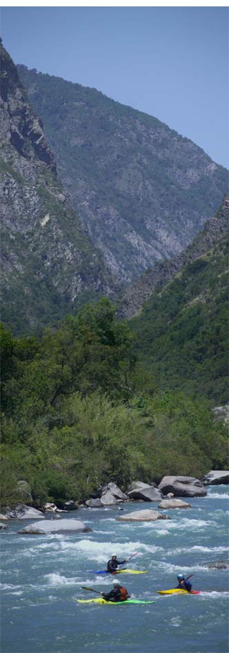
The Lontue River is another one of those local gems and it runs right here to the south of Curico. Not so easy to get to though, it is close to impossible to gain access. You can see that in the picture, the Lontue is surrounded by the steep hillsides of the Andes foothills. That is the goo class IV section that flows to Puente Yacal. Access at the bridge is easy (river left downstream side). You can put in there and float mediocre class I-III to the bridge at the Pan-American highway. The best way to paddle the Rio Lontue is to use the bridge at Yacal as a take-out. But gaining access to the river higher than that means trying to open two locked gates. The large farm that owns the land of the put-in of the Lontue (Aguas Azules) maintains these gates locked and manned at all times. The gates have a house next to them and as far as I can tell the only job these people have is to keep people out.
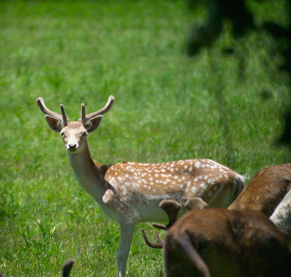
The reindeer is one of the sites near the Lontue.
This river has a bit more volume than most of the others in central Chile. Early on in the season it takes on a lot of water. It reminds me of running the East Fork of the South Fork of the Salmon River with TJ, Gleason, and Ryan last year. I think the gauge was at 5 and we put on and paddled the 50 + miles in one day, easily. Subway never tasted so good.
Well at high water, be careful. There are some big holes. One year Cristian Huenchuleo and I were guiding for Super Mario Expediciones and at House Rock I saw Cristian flip his raft on the left line. So I went right and also got my 14 foot raft flipped in a heartbeat. Basalt columns can be seen at the put-in for the Lontue's class IV run where the Palos de San Pedro River meets the Colorado River. And it keeps getting better...
.jpg)
posted by Todd at 6:33 PM
![]()
![]()

0 Comments:
Post a Comment
<< Home